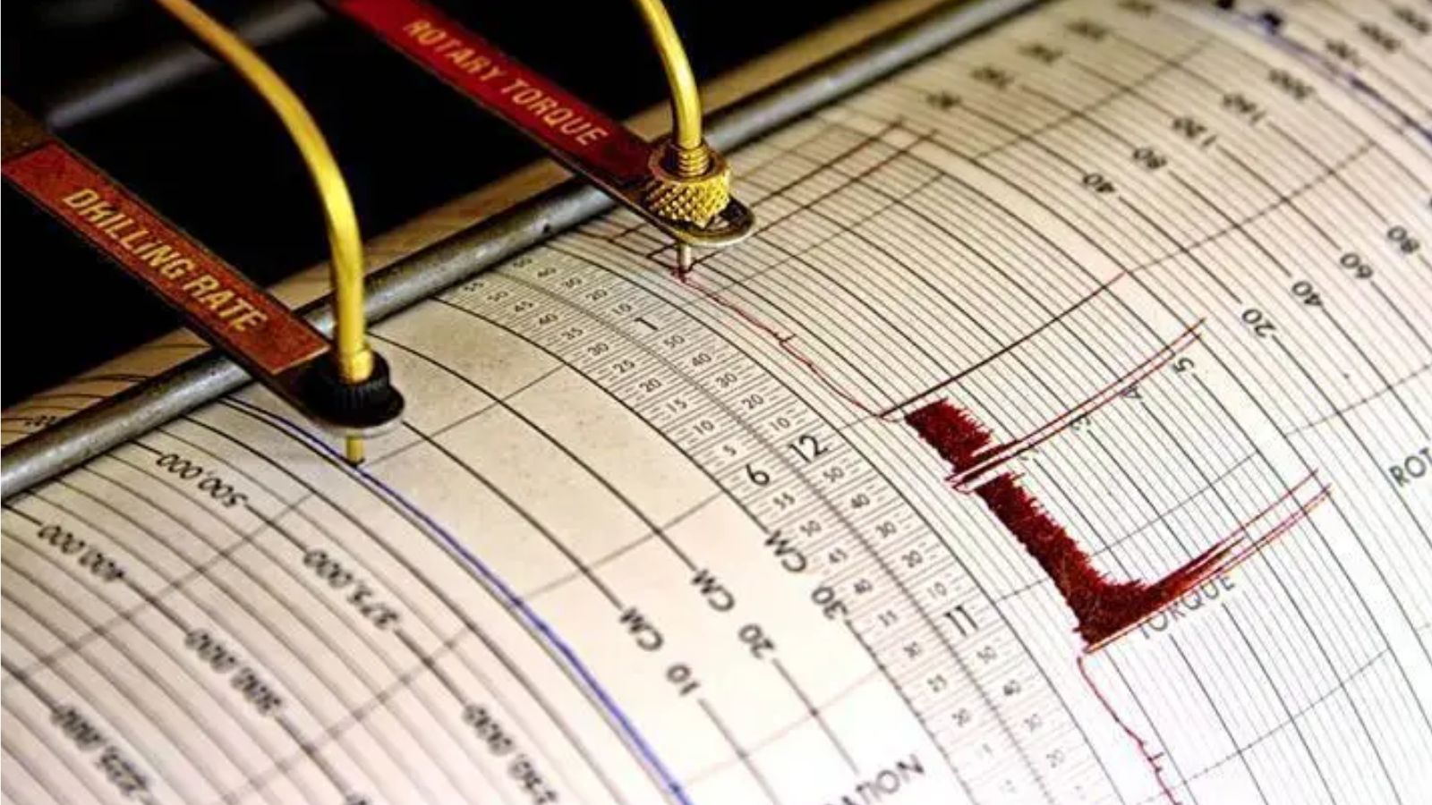
Subduction zones operate as continuous mechanical energy accumulators, converting steady tectonic convergence into sudden, catastrophic slip events. When a magnitude 7.7 earthquake occurs off the coast of Indonesia, the physical reality is not merely an isolated hazard event, but an inevitable output of the Sunda Megathrust system. Stress accumulation along convergent plate boundaries follows precise mechanical laws governed by frictional locking, lithospheric elasticity, and pore fluid pressure. Understanding these events requires abandoning sensationalized accounts and examining the structural variables that dictate seismic propagation and tsunami generation.
The Kinematics of Plate Convergence
The Sunda Megathrust marks the convergent boundary where the Indo-Australian Plate subducts beneath the Eurasian Plate, specifically the Sunda Plate microplate. This subduction occurs at an oblique angle, creating a kinematic partitioning of strain. The vector of plate convergence decomposes into two primary components: trench-normal convergence, which is accommodated by megathrust slip, and trench-parallel strike-slip motion, accommodated by major crustal fault systems such as the Great Sumatran Fault.
Convergence rates vary across the arc, typically ranging between 50 and 70 millimeters per year. This constant tectonic loading forces the two plates together, but the interface is not smooth. Frictional asperities—rough patches along the fault plane—lock the plates in place. While locked, the plates undergo elastic strain accumulation. The overriding plate bends, dragging downward near the trench and bulging upward inland, storing vast amounts of potential energy over decades or centuries.
When the shear stress along the locked interface exceeds the static frictional strength of the asperities, the fault fails. The accumulated elastic strain is released instantaneously, snapping the overriding plate back toward its equilibrium position. The resulting displacement of the seafloor provides the initial boundary condition for tsunami generation.
The Mechanics of Seafloor Displacement and Tsunami Genesis
A magnitude 7.7 earthquake represents a massive release of seismic moment, typically on the order of 4 times ten to the nineteenth Newton-meters. However, magnitude alone does not dictate tsunami risk. The critical variable governing tsunami generation is the vertical component of coseismic seafloor deformation.
Strike-slip earthquakes, which involve horizontal motion along a vertical fault plane, displace minimal water vertically and rarely generate significant tsunamis. Conversely, megathrust earthquakes are predominantly dip-slip events characterized by thrust faulting on a gently dipping plane. When a megathrust ruptures, the up-dip portion of the fault near the trench undergoes massive seaward and upward displacement, while the down-dip portion subsides.
[Ocean Surface]
      \                                  / (Uplifted Seafloor)
       \                                /
        \------------------------------/  <-- Megathrust Rupture Plane
         \Subducting Plate (Indo-Aust)
This vertical displacement of the seafloor instantly transfers energy to the overlying water column. A volume of water equal to the displaced seabed is lifted above sea level, creating a hydrodynamic perturbation that radiates outward as long-period gravity waves.
Fluid Dynamics of Propagation
Once initiated, tsunami waves behave as shallow-water waves, regardless of the actual depth of the ocean. This is because their wavelength, often exceeding 100 kilometers, is vastly greater than the average depth of the ocean, which is approximately 4 kilometers.
The phase speed of a tsunami wave is governed by the square root of the product of acceleration due to gravity and water depth. In the deep ocean, a tsunami travels at speeds exceeding 700 kilometers per hour, nearly matching the cruising speed of a commercial jetliner. Because the wave height in deep water is typically less than a meter, ships at sea rarely notice its passage.
As the wave approaches shallow coastal waters, the decreasing depth forces a reduction in wave velocity. Conservation of energy dictates that as the velocity drops, the wave height increases through shoaling. The leading edge of the wave compresses, steepening into a turbulent wall of water that inundates low-lying coastal topography.
The Vulnerability Function of Coastal Infrastructure
The impact of an Indonesian megathrust event is a direct function of exposure, structural fragility, and institutional response time. Coastal communities situated along the Sunda Arc often sit on unconsolidated sedimentary basins, which amplify ground motion through seismic wave trapping and resonance effects.
Structural Typologies and Failure Modes
During a magnitude 7.7 event, ground shaking induces inertial forces on buildings that exceed their lateral load-bearing capacity. Unreinforced masonry structures experience brittle shear failure, characterized by diagonal cracking and catastrophic collapse. Non-ductile reinforced concrete frames suffer from soft-story failures, where lower-level parking or commercial spaces lack sufficient shear walls to resist lateral drift.
Tsunami inundation introduces hydrodynamic drag forces, hydrostatic buoyancy forces, and debris impact loads. The drag force exerted by flowing water scales with the square of the flow velocity. When water depth reaches critical thresholds, buildings not anchored to deep foundations are dislodged and swept inland, transforming into battering rams that accelerate the destruction of surrounding infrastructure.
Warning Systems and Latency Metrics
Mitigating loss of life during subduction zone earthquakes relies entirely on the compression of latency within the warning chain. This chain consists of three distinct operational phases:
- Detection and Location: Seismic sensor networks detect primary and secondary waves, calculating the epicenter, focal depth, and magnitude within seconds to minutes.
- Moment Tensor Inversion: Advanced algorithms analyze broadband waveforms to determine the faulting mechanism, distinguishing between strike-slip and dip-slip events to assess tsunami potential.
- Dissemination and Evacuation: Automated alerts are transmitted to national disaster management agencies, local authorities, and mobile networks, initiating public evacuation protocols.
The primary operational bottleneck is the time gap between earthquake nucleation and public alert delivery. For coastal areas located within tens of kilometers of the trench, the travel time for tsunami waves can be less than 15 minutes. This is known as a near-source or local tsunami scenario. In these instances, regional seismic networks cannot process data, run numerical models, and issue warnings faster than the arrival of the wave.
Residents in near-source zones cannot rely on institutional alerts; their survival depends entirely on natural precursors. The primary precursor is prolonged, intense ground shaking lasting longer than 20 seconds, which serves as an empirical trigger for immediate self-evacuation to high ground.
Strategic Resource Allocation for Seismic Resilience
Optimizing regional resilience against megathrust hazards requires a shift from reactive disaster relief to structural risk engineering. Governments and municipal planners must execute targeted interventions across three distinct operational layers.
First, spatial planning must enforce strict setback zones and elevation thresholds along high-risk coastlands. Critical infrastructure, including hospitals, power generation facilities, and emergency command centers, must be relocated outside maximum credible tsunami inundation zones or retrofitted with vertical evacuation structures—engineered mounds and reinforced multi-story towers designed to withstand both severe seismic shaking and hydrodynamic impact loads.
Second, building code enforcement must transition from prescriptive standards to performance-based seismic design. This involves mandating ductile detailing in reinforced concrete, implementing base isolation systems for critical infrastructure, and requiring continuous load paths to resist uplift and lateral shear forces.
Third, public safety communications must integrate real-time sensor telemetry with decentralized community-based response drills. Because institutional warning latency cannot be compressed below physical communication limits in near-source scenarios, local populations must be conditioned through repetitive simulation to execute evacuation maneuvers upon sensing ground motion, bypassing bureaucratic verification loops.