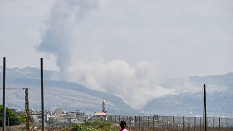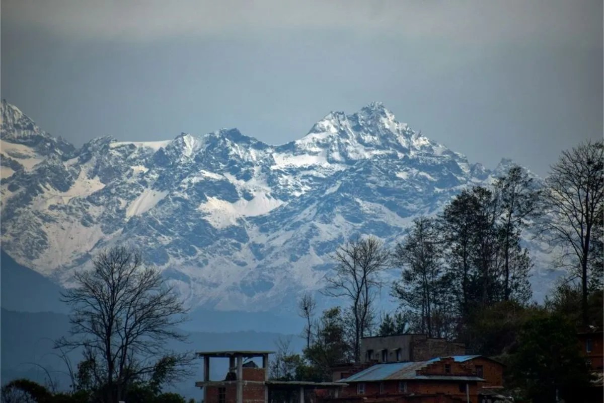
High mountain Asia functions as a fragile hydrological matrix where accelerated glacial retreat transforms stable ice reserves into high-altitude water storage. The physical mechanism governing downstream threat profiles centers on Glacial Lake Outburst Floods, designated as GLOFs. These events occur when unconsolidated terminal or lateral moraines—composed of loose rock, debris, and ice cores—fail under hydrostatic pressure, seismic activity, or dynamic displacement waves.
Global risk assessments published in scientific literature indicate that approximately three million individuals reside within potential inundation zones across India alone. This population density inside high-energy river corridors creates an acute operational vulnerability. Understanding this systemic risk requires breaking down the physical drivers, structural limitations of natural dams, and the precise mechanics of catastrophic drainage. If you enjoyed this post, you might want to look at: this related article.
The Physical Mechanics of Moraine Dam Failure
Natural impoundments holding back meltwater operate under precarious geotechnical parameters. Unlike engineered concrete structures designed with controlled spillways and relief valves, moraine-dammed lakes rely on unstable debris matrices.
The primary triggers initiating catastrophic discharge involve distinct physical inputs: For another angle on this development, see the latest update from NBC News.
- Ice avalanches or rockfalls plunging into the water body, generating massive displacement waves that overtop the fragile moraine wall.
- Seismic shocks destabilizing the internal shear strength of the debris dam, inducing sudden liquefaction or piping failures.
- Rapid accumulation of monsoon precipitation accelerating internal hydrostatic pressure until piping erosion breaches the containment barrier.
Once structural integrity is compromised, the breach widens exponentially due to high-velocity outflow scouring the channel. The resulting flood wave transforms into a hyper-concentrated debris flow, entraining boulders, sediment, and infrastructure elements, which multiplies its destructive kinetic energy before reaching populated valley floors.
Regional Expansion Metrics and Spatial Distribution
Satellite data compiled across the Hindu Kush Himalaya region document a rapid proliferation of high-altitude water bodies. Between 1990 and 2020, the count of documented glacial lakes expanded substantially, with localized expansions exceeding 80 percent in specific sub-basins.
The spatial distribution of these hazards exhibits high variance. Small glaciers, defined as those measuring under 0.5 square kilometers, experience disproportionate volumetric loss compared to larger ice masses. Because these minor glaciers populate upper catchments densely, their retreat directly feeds newly formed moraine-dammed reservoirs.
Basin-level analyses highlight that India, Pakistan, China, and Peru contain the highest concentrations of exposed downstream populations. Within the Indian Himalayan Region, thousands of glacial lakes have been mapped by remote sensing agencies, with hundreds flagged for localized monitoring based on surface area expansion rates and dam composition metrics.
The Cost Function of Downstream Infrastructure Exposure
Vulnerability is not merely a function of water volume or lake surface area; it is dictated by the socio-economic density situated along the hydraulic gradient. Hydroelectric power generation stations, arterial roadway networks, and permanent human settlements cluster precisely within narrow river gorges where transport costs and resource access favor valley-bottom placement.
When a high-altitude outburst occurs, the time window between initial lake breaching and arrival at downstream population centers ranges from minutes to a few hours, depending on elevation drops and distance. This short lag phase nullifies traditional evacuation protocols relying on manual warnings.
Infrastructure asset loss patterns demonstrate that run-of-the-river hydroelectric installations face structural annihilation because their penstocks, intake tunnels, and switchyards occupy the direct path of high-energy bedload deposition. The destruction of these facilities triggers cascading energy deficits across regional power grids, compounding the humanitarian crisis with prolonged economic paralysis.
Mitigation Architecture and Early Warning Constraints
Deploying effective defense mechanisms against cryospheric hazards involves balancing structural engineering interventions with real-time sensor networks. Engineering solutions focus on lowering lake levels through controlled siphon piping, artificial spillway excavation through bedrock, or reinforcement of weak moraine walls with gabions and rockfill.
Early warning systems rely on automated water level sensors, acoustic flow monitors, and seismic triggers installed near high-risk basins. However, harsh climatic conditions, remote topography, and rapid maintenance degradation render continuous telemetry difficult to sustain. Data transmission links frequently fail during extreme weather events precisely when real-time feeds are most critical.
Integration of satellite-based radar interferometry allows continuous tracking of surface displacement and slope stability along unstable lateral moraines. Transitioning from reactive disaster relief to predictive cryospheric risk management requires embedding these telemetry inputs directly into regional disaster response frameworks and halting unmitigated linear infrastructure expansion within high-risk alluvial flood zones.